


Product Information
Description
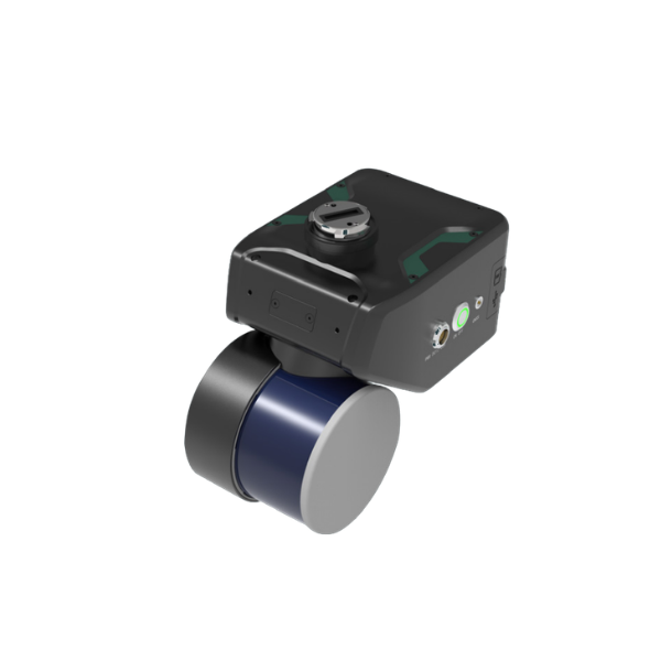
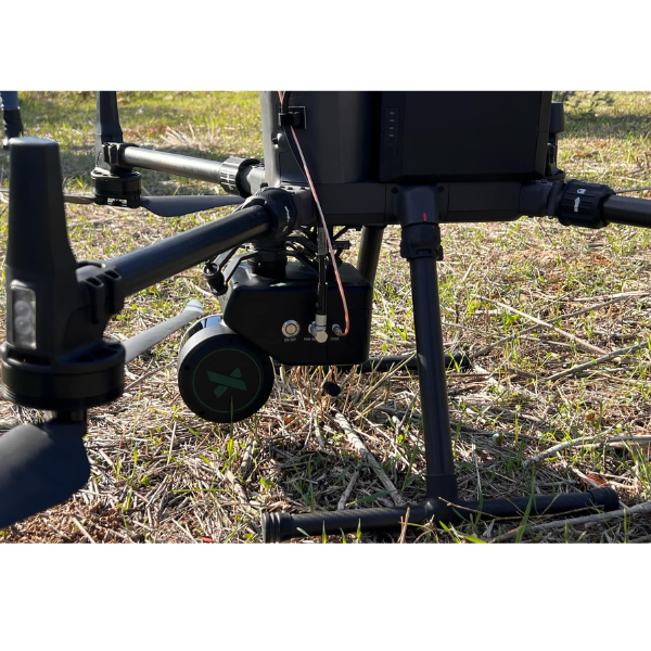
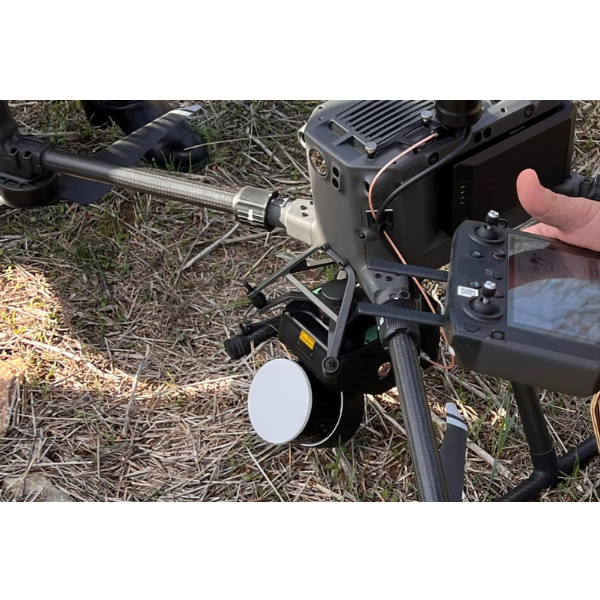
LiAir X4 is the latest generation autonomous LiDAR data acquisition system from GreenValley International. It integrates a lightweight 32-channel rotating laser scanner, a high-precision inertial navigation system (INS), a high-resolution camera, and a powerful edge computing platform. Featuring 360° scanning capability and the AirPilot autonomous flight algorithm, it delivers efficient, safe, and cost-effective intelligent inspections with comprehensive obstacle avoidance. The system is compatible with UAV platforms.
- Fully autonomous flight with obstacle avoidance
- Multi-platform compatibility (UAV / Handheld)
- Maximum measurement range: 300 m
- Elevation accuracy: 5 cm (@100 m)