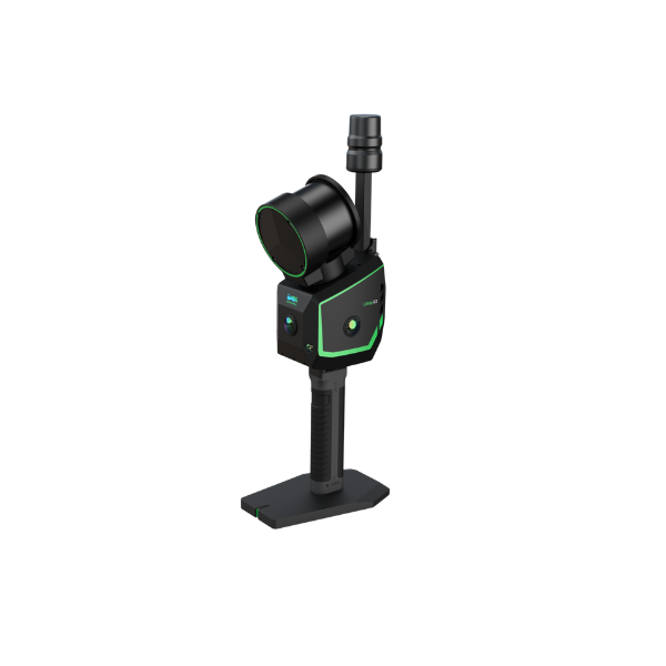
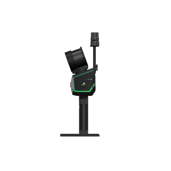
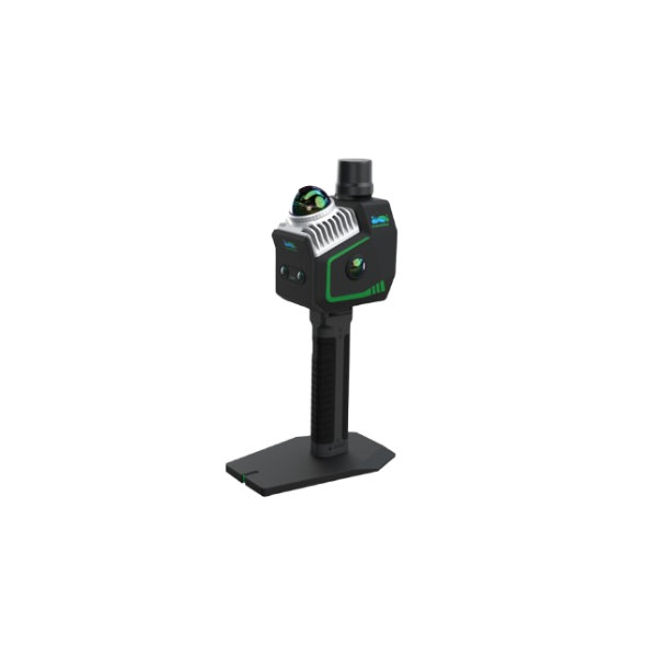
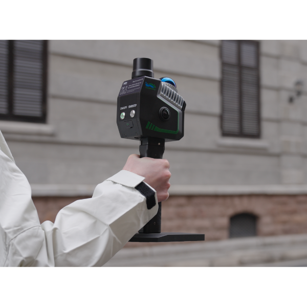
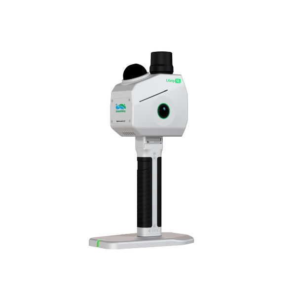
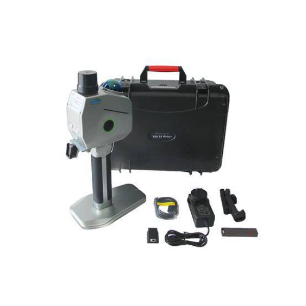
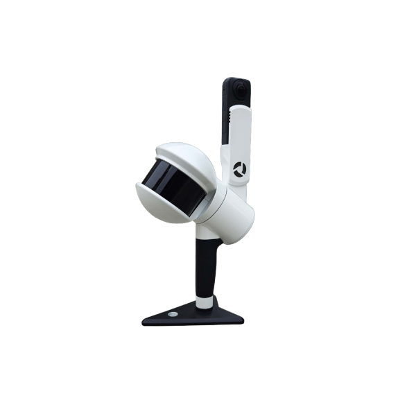
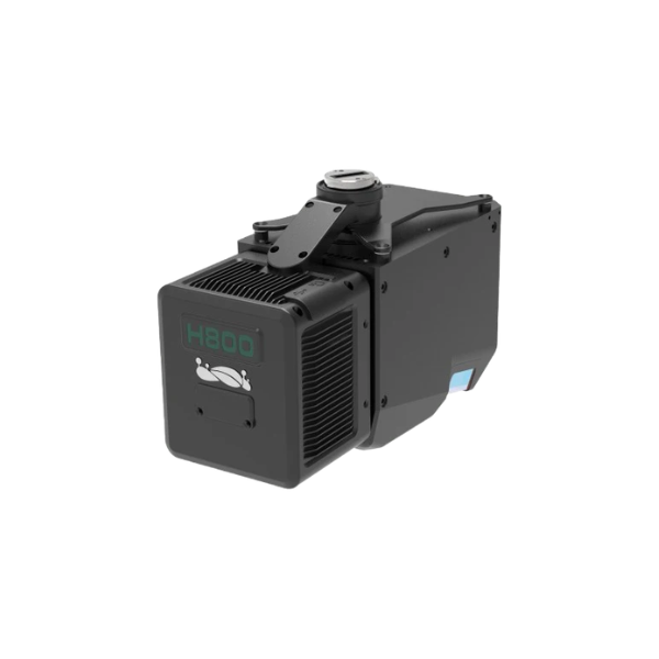
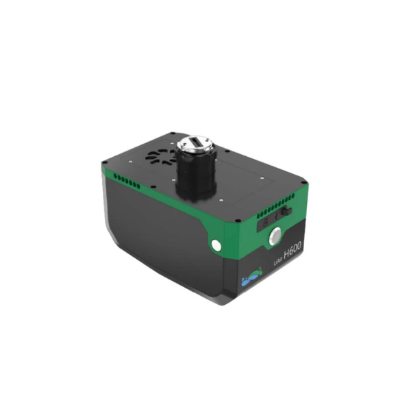
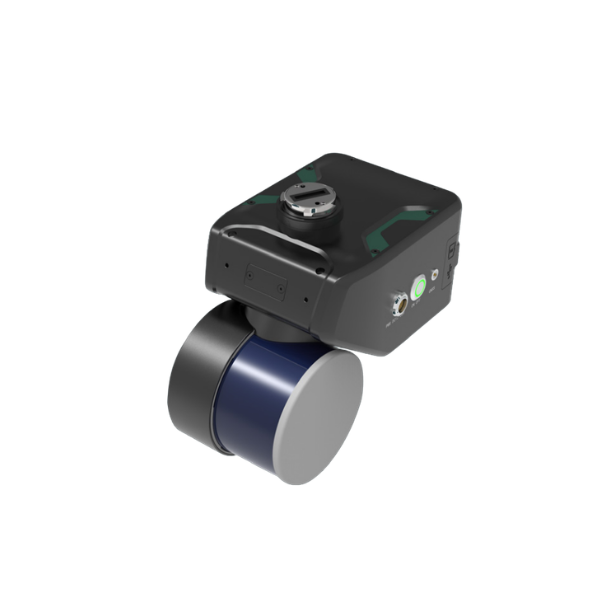
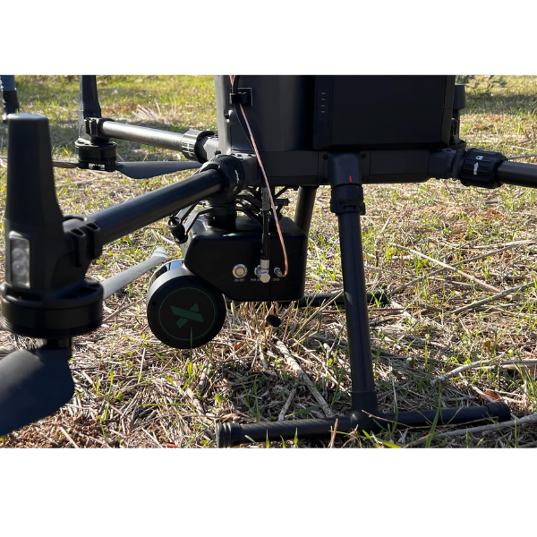
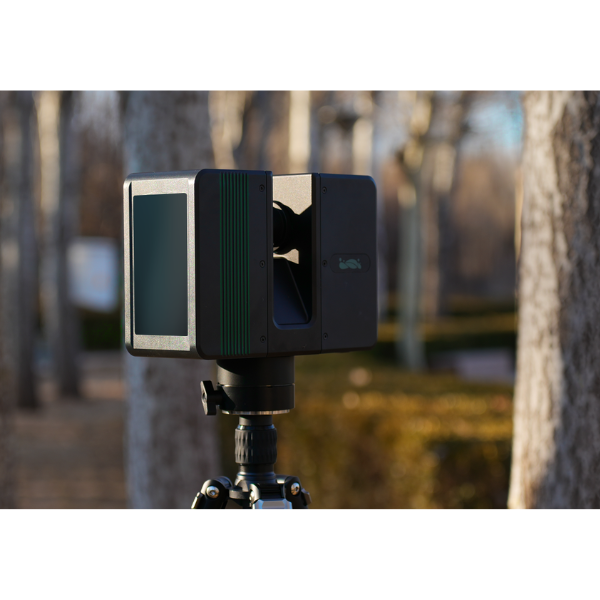
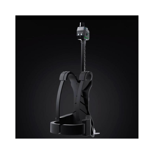
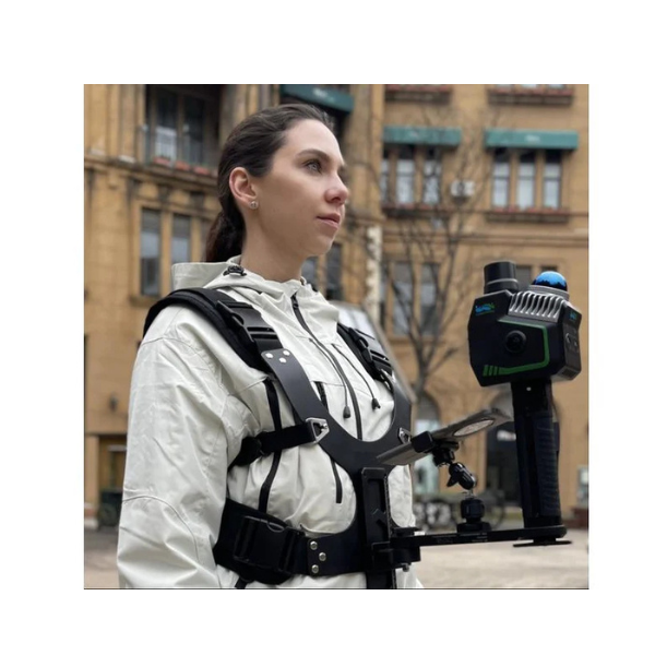
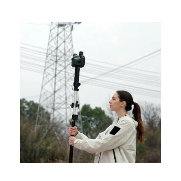
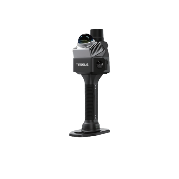
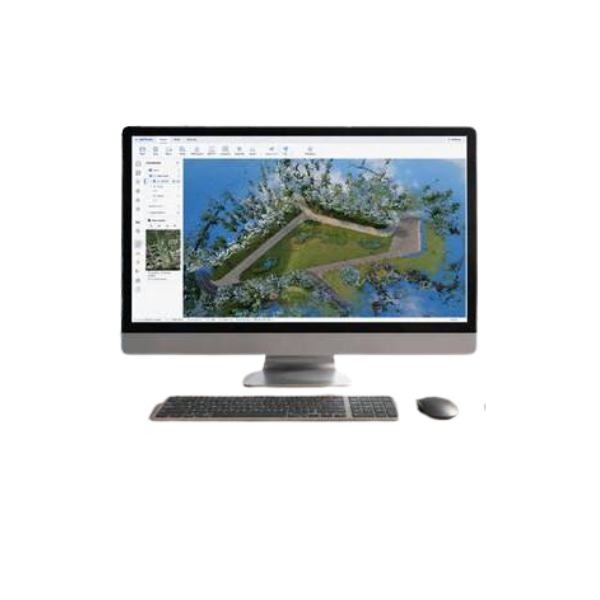
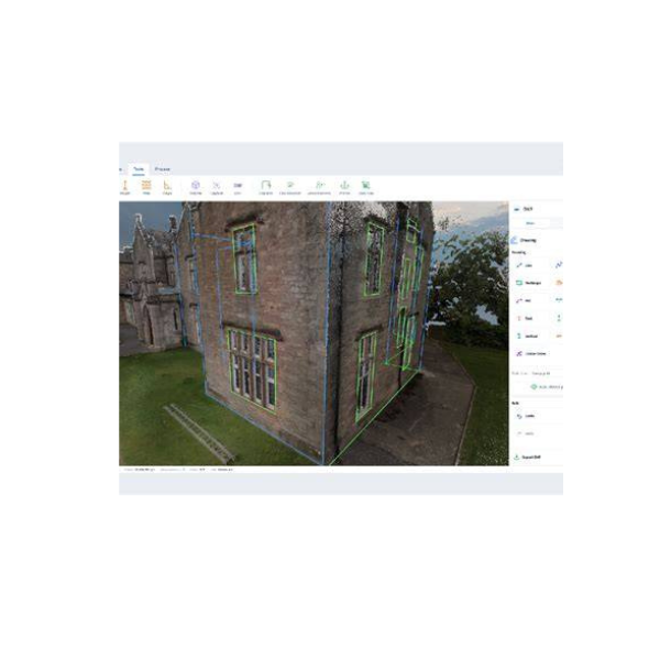
High-speed laser scanning systems enable the rapid acquisition, georeferencing, and processing of point clouds that accurately capture an object's geometry and surface texture. Fast and efficient processing, registration, and classification of point cloud data allow users to generate detailed 3D models for visualization, documentation, and analysis, while delivering a comprehensive range of professional surveying and mapping outputs.