

Product Information
Description
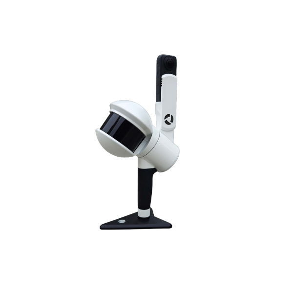
Rotating Handheld SLAM LiDAR System
The LiGrip H300 by GreenValley International integrates multiple high-accuracy mapping methods, including SLAM, PPK-SLAM, and RTK-SLAM, enabling the rapid acquisition of point cloud data with absolute coordinates.
When combined with LiDAR360 and LiDAR360MLS software, the LiGrip H300 provides a comprehensive solution for mapping, mining, forestry, road asset analysis, and a wide range of other geospatial applications.
| Scan Rate | 640,000 pts/s |
| Scan Range | Up to 300 m |
| Laser Accuracy | Up to ±1 cm |
| Compatibility | Multi-Platform |