


Product Information
Description
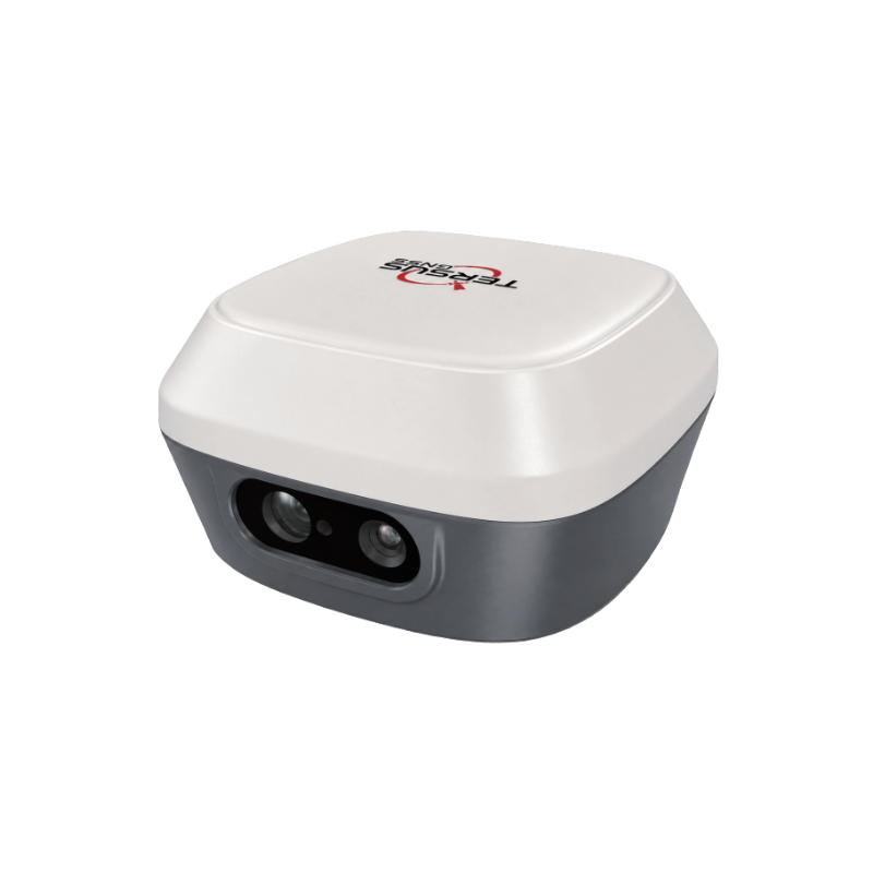
The new Tersus TS30 is an advanced and compact geospatial surveying solution that combines Visual SLAM, GNSS RTK, integrated cameras, and a laser rangefinder into a single device. With a simple video capture of the site, it automatically generates high-density colorized 3D point clouds while providing accurate coordinate, distance, and angle measurements, as well as topographic surveys and digital terrain models. Its integrated 50 m laser rangefinder and TwinCam AR Stakeout technology enable fast and reliable surveying and stakeout, significantly reducing fieldwork time and minimizing the need for repeat site visits.
- Full GNSS board supporting complete tracking of all available constellations
- Integrated AR Stakeout technology
- Channels: 1,792
- Antenna: Integrated
- Calibration-free